")
")
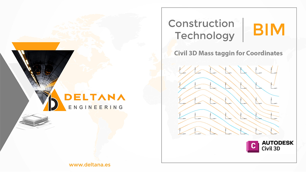
Welcome to DELTANA’s blog! In this exciting video, you'll dive into the realm of mass labelling in Autodesk Civil 3D – an essential tool for designers and civil engineering professionals. Are you ready to streamline your workflow and enhance the accuracy of your projects?
📐 Join us as we dive into strategies and techniques for efficiently labelling a multitude of elements in your infrastructure designs.
In this video, you'll discover:
✅ Practical tips for selecting and labelling multiple elements simultaneously.
✅ How to customize your labels to meet design and presentation standards.
✅ Advanced Civil 3D tools that will expedite your work and enable you to maintain a high level of precision.
Don't miss the opportunity to optimize your workflow and master the essential skill of mass labelling with Civil 3D. Click on the video and get ready to revolutionize the way you label elements in your civil engineering designs!
🛎 Be sure to subscribe to our Youtube channel and turn on notifications to stay updated on our valuable insights and tutorials! If you found this video helpful, don't forget to like and share it with your colleagues and friends in the world of engineering.